


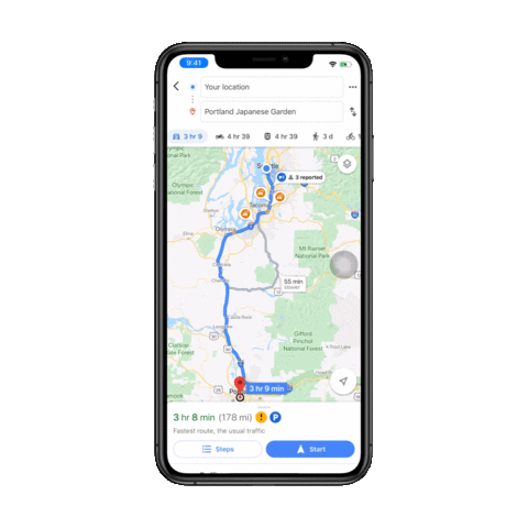
Google Maps is adding new features that will enable users access to crowd-sourced information about various incidents along the route while they drive to their destinations. According to the company, the feature will enable users to report various driving incidents, such as lane closures, construction, disabled vehicles and on-road obstacles. To report any of the above incidents, users will be able to simply tap on the “+” sign and then choose “Add a report”, as seen in the GIF below.

In addition, the iOS version of the app is also gaining a feature that was earlier rolled out on Android. According to Google, users will now be able to report crashes, speed traps and traffic slowdowns right from their iPhone. The company says the feature is being expanded to iOS following its popularity among Android users. Both features will start rolling out globally this week.
This is just the latest new feature that Google Maps has introduced to make everyday transit less of a hassle for commuters around the world. The company recently introduced real-time bikeshare information in 24 cities globally, after rolling out transit ‘crowdedness’ predictions in June to help users see how crowded their bus, train or subway is likely to be. The company is also bringing ‘Incognito Mode’ to Maps as part of its plans to reassure users about their privacy.
Alongside the aforementioned features, Google Maps recently also announced new improvements that would help people with vision impairment to navigate more easily. As part of the plan, both app now offers more detailed voice guidance and new types of verbal announcements for walking trips. Currently, however, it is only available in the US and Japan, but the company will hopefully expand the feature to more markets to help more people with vision impairment.

